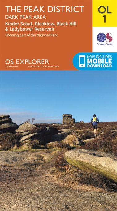
The Peak District - Dark Peak Area Explorer Leisure Map 1
Description
- 1:25 000 scale
- 2.5 inches to 1 mile
- Essential for outdoor activities
OS Explorer Map is the Ordnance Survey’s most detailed folding map and is recommended for anyone enjoying outdoor activities including walking, horse riding and off-road cycling. Providing complete GB coverage, the OS Explorer map series details information essential in the great outdoors, including youth hostels, pubs and visitor information. Rights of way, fences, permissive paths and bridleways are clearly shown, ensuring you have the best information to get the most out of your time in the countryside.
OL1 The Peak District, Dark Peak area featuring :-
Pennine Way, Pennine Bridleway, Gritstone Trail, Limestone Way Middlewood Way, Cheshire Ring Canal Walk, Kirklees Way, Dearne Way, Holme Valley Circular Walk, Oldham Way, Goyt Way, Longdendale Trail, Cown Edge Way, Medlock Valley Way, Standedge Trail, Crompton Circuit, Hills and Hamlets Walk, Midshires Way, Dove, Valley Trail, Barnsley Boundary Walk, Tameside Trail, Etherow-Goyt Valley Way, Penistone Boundary Walk, Trans Pennine Trail, Ladybrook Valley Interest Trail, Tame Valley Way, Derwent Valley Heritage Way, Elsecar to Wortley Trail, Pennine Way (National Trail), E2 (European Long Distance Route), Pennine Bridleway (National Trail), Cheshire, Peak District National Park, West Yorkshire, Greater Manchester, South Yorkshire, Derbyshire
Ordnance Survey, the OS Symbol, OS and Explorer are registered trademarks of Ordnance Survey, the national mapping agency of Great Britain.
Made and published by Ordnance Survey of Southampton, United Kingdom.
© Crown Copyright 2002. All rights reserved.
How to access the digital version of this map
- This map comes with a digital version which you can download to your smartphone or tablet.
- Go to OS.uk/redeem for more details (terms and conditions apply).
- Scratch off the panel on the inside cover of the map to reveal a code, you are then just three easy steps away from downloading your digital map.
- If the scratch panel has already been scratched off or if you have any problems downloading your map, please call the OS Customer Service Centre on 03456 050505.
Specification
| Supplier MPN | OSO1 |
|---|---|
| Supplier GTIN | 9780319263655 |
| Availability | In Stock |
Videos
Delivery
| Delivery Area | Cost |
| Order over £100.00 - UK Mainland: 3 - 5 working days, Monday - Friday | FREE |
| Order under £100.00 - UK Mainland: 3 - 5 working days, Monday - Friday | £6.99 |
| *UK Mainland: Next working day, Monday - Friday *ORDERS MUST BE PLACED BEFORE 1PM THE PREVIOUS WORKING DAY | £10.99 |
| *UK Mainland: Saturday delivery *ORDERS MUST BE PLACED BEFORE 1PM ON FRIDAY | £18.99 |
| Scottish Highlands & Islands | £13.99 |
| Northern Ireland | £18.99 |
| Isles of Scilly | £19.99 |
| Isle of Wight | £19.99 |
| Isle of Man & Channel Islands | £19.99 |
Returns
There's just 4 EASY steps to return your item back to us:
- Contact us on 01209 203220 so we can arrange the easiest way to return an item.
- Download a RETURNS FORM here to fill out your details.
- Re-Package your item for postage*
- Post it Back.
To: World of Camping Returns, 1 Treleigh Park, Jon Davey Drive, Treleigh Industrial Estate, Redruth, Cornwall, United Kingdom, TR16 4AX
*See our Returns page here for more details


